
Mountain guide
Mount Pulag
Benguet
A Cordillera climb through forest and open grassland, best known for sunrise above the clouds. Choosing the right trail matters as much as choosing the summit.
- Elevation
- 2,926 m
- Time to plan for
- Usually 2 days via Ambangeg; longer for other routes
- Trail difficulty
- Moderate via Ambangeg; strenuous via Akiki
What makes Mount Pulag special?
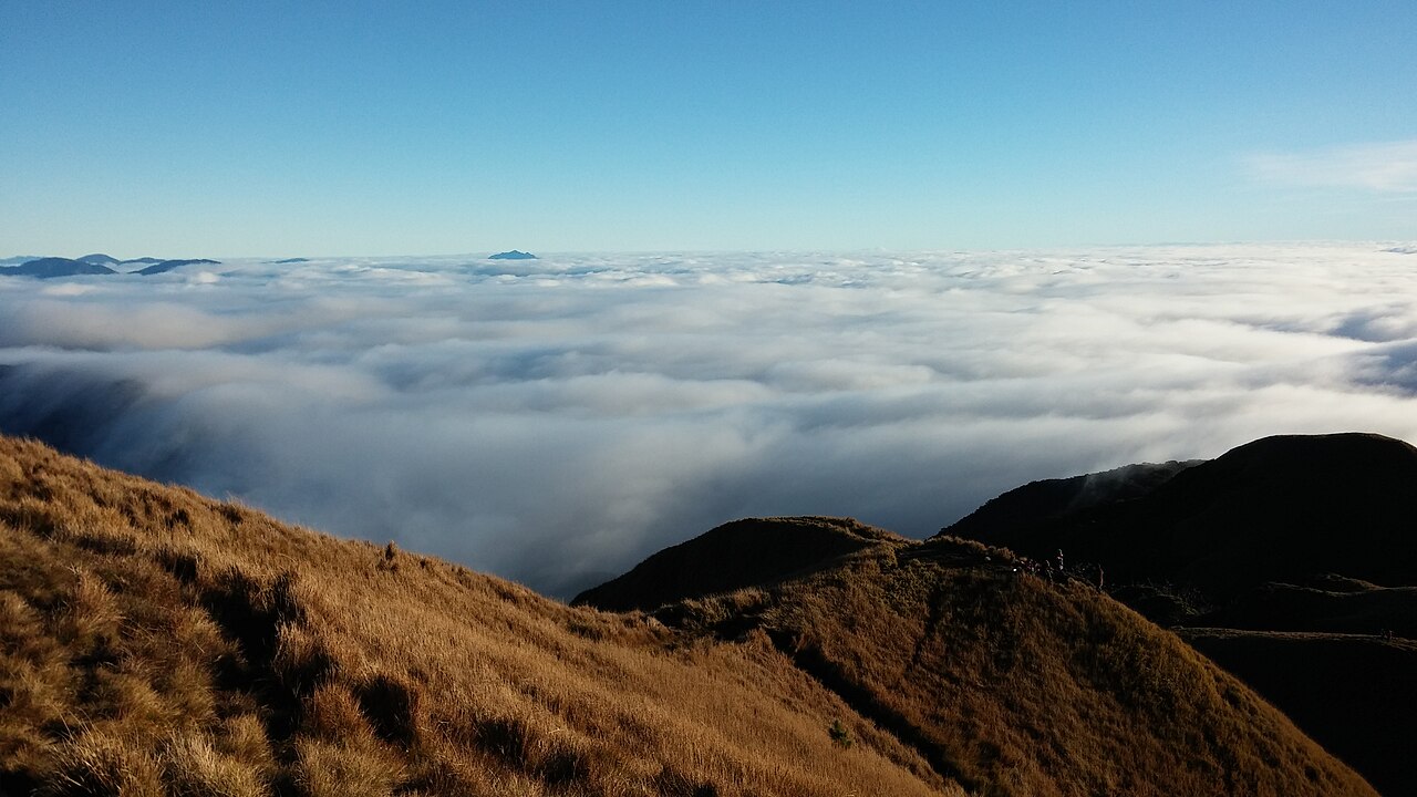
Mount Pulag is Luzon’s highest mountain. Its summit landscape opens into grassland and dwarf bamboo, offering wide views across the Cordillera when the weather clears. The sea of clouds is a reason many hikers visit, but visibility depends on conditions rather than a guaranteed sunrise spectacle.
Think of the trip as a high mountain walk rather than a race to a viewpoint. An early start, cold air and sustained walking can make even the gentler route demanding. Choose an itinerary that gives your group time to rest and follow the park briefing.
Ambangeg or Akiki: which trail should you choose?
Ambangeg is the gentler, more popular approach. An overnight or two-day itinerary is a common starting point for planning. It is the route to consider first if you are new to Pulag, although fitness and preparation still matter.
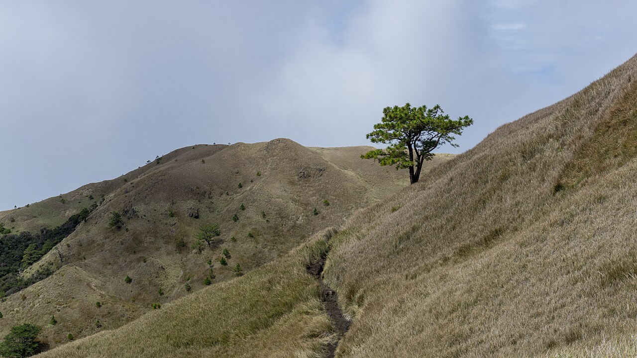
Akiki involves a steeper, sustained ascent through pine and mossy forest. It suits experienced hikers looking for a more demanding approach; some itineraries climb Akiki and descend Ambangeg. Tawangan is another longer option. Discuss route availability, walking days and campsite arrangements with your guide before choosing a traverse.
Trail approaching Mount Pulag
Photo: SoproniOli713 · CC BY-SA 4.0 · Wikimedia Commons · Cropped to fitGetting there and arranging your climb
Baguio is a common staging point, with onward transport toward the Bokod or Kabayan access area. Book transport around your confirmed trail and accommodation rather than assuming every Pulag itinerary uses the same jump-off.
Confirm registration, orientation, guide arrangements and any medical-document requirements with the park office or your organizer. Ask which costs are included, where you will sleep, and what happens if the route closes. A Philippine Information Agency report on Akiki’s reopening illustrates why an old itinerary is not proof of current access.
Weather and what to expect
The tourism guide identifies November to April as the usual drier window, with particularly cold conditions from December to February. Rain, wind and poor visibility can still interrupt a climb. Follow the forecast and park instructions rather than relying on the month alone.
Protect your warm layers from rain and keep a working headlamp accessible. Agree on a turnaround plan with your guide, and leave the grassland, wildlife and campsites as you found them.
Sources and planning updates
References reviewed on . This is a planning overview; confirm current access, permits and fees with the park or local office before booking.