Mountain guide
Mount Apo
Davao del Sur and Cotabato
The Philippines’ highest mountain brings together forest, volcanic terrain and long walking days. Plan the route and logistics before committing to the summit.
- Elevation
- 2,954 m
- Time to plan for
- Usually 2–4 days, depending on the route
- Trail difficulty
- Strenuous; terrain and effort vary by route
Why climb Mount Apo?
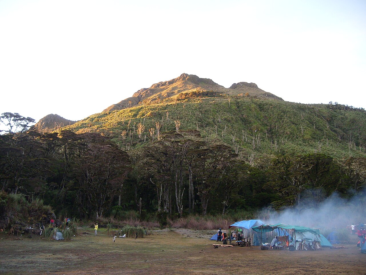
Mount Apo rises to 2,954 metres on Mindanao, spanning the Davao and Cotabato area. The Provincial Government of Davao del Sur identifies it as the Philippines’ highest mountain and a protected natural park. Its volcanic landscape includes several peaks and an old summit crater.
The appeal goes beyond elevation. Different approaches reveal forest, rocky slopes and high mountain scenery. Apo Sandawa also has deep significance to local communities; visit with respect for the people and landscapes that make the climb possible.
Choosing an Apo route
Kapatagan, Sta. Cruz and Kidapawan are familiar names in Apo itineraries, but the exact entrance and exit need to be agreed with your organizer. The Sta. Cruz approach is associated with boulder terrain and volcanic vents; the Kidapawan side is associated with forest, river crossings and Lake Venado.
A traverse uses different entry and exit points, adding transport and permit coordination. A backtrail returns along the same approach. Allow roughly two to four climbing days as an initial planning range, then confirm a schedule suited to your group rather than treating that range as a promise.
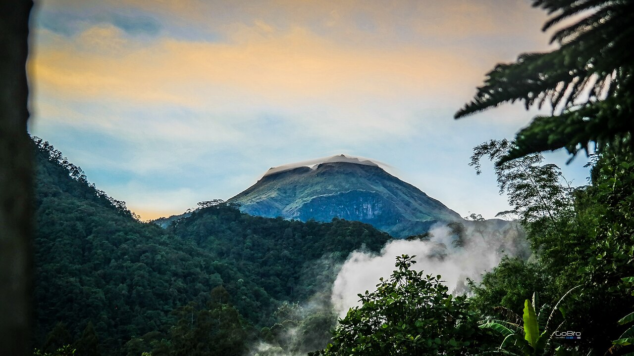
Volcanic terrain on Mount Apo
Photo: Bro. Jeffrey Pioquinto, SJ · CC BY 2.0 · Wikimedia Commons · Cropped to fitAccess, permits and transport
Davao City and Kidapawan are common gateways. The Province of Cotabato also identifies several approaches on its side of the mountain, so confirm the actual jump-off before booking onward travel.
Arrange the climb with the relevant local office and an accredited guide or operator. Confirm permits, allowed dates, group limits, briefing requirements and medical documents for your chosen route. Ask for an itemized quote covering guides, transport, camping and porter arrangements, and establish the cancellation terms before paying.
Preparing for long days on the mountain
The tourism guide describes December to May as the usual drier season, but the route’s current status and forecast should decide whether a climb proceeds. Plan for wet ground and cold, windy nights even when travelling in a generally drier month.
Train with the pack you intend to carry and test your overnight equipment beforehand. On volcanic terrain, follow your guide’s directions around vents and avoid lingering near fumes. River crossings, exposed ground and changing weather require decisions based on conditions, not pressure to finish an itinerary.
Sources and planning updates
References reviewed on . This is a planning overview; confirm current access, permits and fees with the park or local office before booking.