
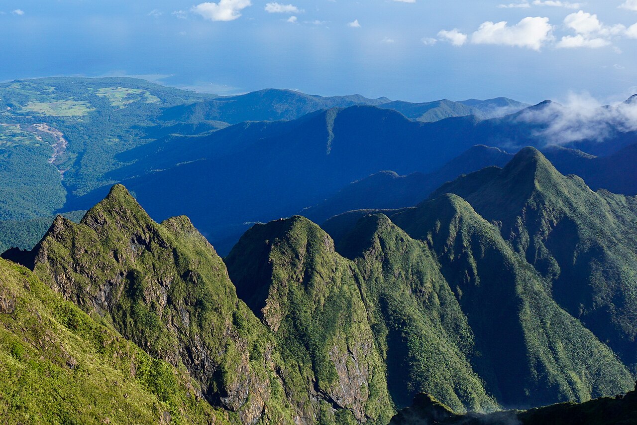
The jagged peaks of Mount Guiting-Guiting
Photo: Androkoy · CC BY-SA 4.0 · Wikimedia Commons · Cropped to fitMountain guide
Mount Guiting-Guiting
Romblon
Sibuyan Island’s jagged summit is a demanding objective for experienced hikers. Exposed rock, route choice and island travel all deserve careful preparation.
- Elevation
- 2,058 m
- Time to plan for
- A multi-day climb; agree the schedule with your guide
- Trail difficulty
- Very challenging, with exposed scrambling
A different kind of summit challenge
Mount Guiting-Guiting stands at 2,058 metres on Sibuyan Island in Romblon. Its sharp ridges and rocky slopes make it a very different undertaking from a straightforward walking trail. The Philippine Information Agency highlights the physical preparation and equipment needed for its steep, jagged terrain.
The mountain is also part of a protected landscape with distinctive biodiversity. Its natural park was established in 1996 across parts of Magdiwang, Cajidiocan and San Fernando. Treat the forest and ridges as a place to protect, not just a summit to collect.
Tampayan, Olango and traverse planning
The two established approaches are Tampayan from the north and Olango from the south. A traverse connects different sides of the mountain, while a backtrail returns by the approach used for the ascent. These choices change the transport, camps and pacing of the trip.
Work through the route with a local guide familiar with current conditions. Agree on daily objectives and a turnaround plan before starting. A summit attempt is only one part of the itinerary; your group also needs enough time and energy to negotiate the descent.
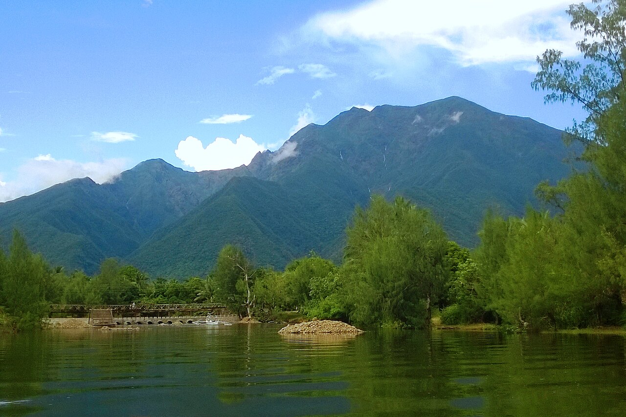
Mount Guiting-Guiting seen from the south
Photo: Androkoy · CC BY-SA 4.0 · Wikimedia Commons · Cropped to fitGetting to Sibuyan and arranging access
Plan arrival on Sibuyan separately from the mountain itinerary. Confirm current island transport, accommodation and the transfer to your chosen jump-off before fixing climbing dates. Leave room for a disrupted connection rather than scheduling a climb immediately against a tight return departure.
Published route information identifies the DENR office in Magdiwang as a point for arranging permits and guides. Reconfirm the current process locally, including fees, campsite rules, group arrangements and any required documents. Old trip reports can describe the terrain, but they cannot confirm today’s access conditions.
In a February 2026 report, the Philippine Information Agency announced an annual November-to-January rehabilitation closure and stricter entry requirements. These included training credentials, two recent major climbs, police clearance, a locally issued medical certificate and entry-point tourism registration. Check the latest checklist and closure dates with the park before booking travel.
Preparation for exposed terrain
Prior experience on long, steep hikes and scrambling terrain is valuable preparation. Discuss your group’s experience honestly with the guide; fitness alone does not establish comfort on exposed rock.
Ask the guide to review footwear, pack weight and equipment before departure. Rain, wind and low visibility can change what is reasonable on a ridge. Follow the guide’s decision to wait or turn back, and pack out everything you bring onto the mountain.
Sources and planning updates
References reviewed on . This is a planning overview; confirm current access, permits and fees with the park or local office before booking.